AI training data for Autonomous vehicles
LiDAR, camera, and sensor-fusion annotation for AV perception: dense 3D labels with scenario-based gold sets and per-frame consensus review.
Data operations tuned to Autonomous vehicles
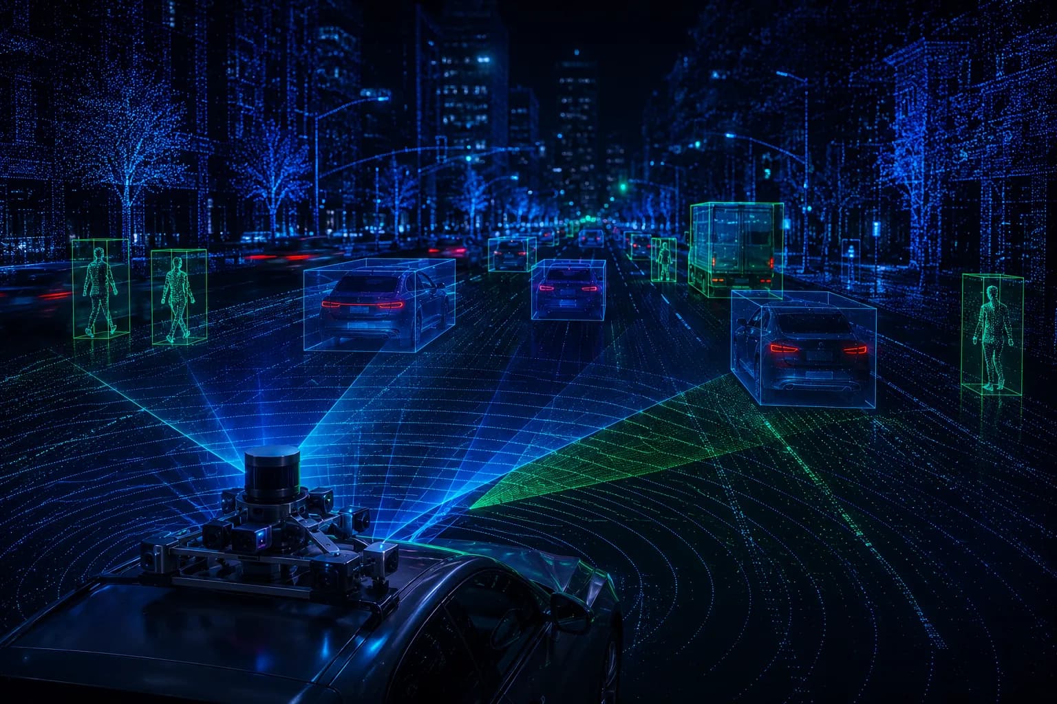
Autonomous driving stacks are only as safe as the perception data behind them. Corpshore AI labels LiDAR point clouds, multi-camera video, and radar returns as a fused whole, so objects stay consistent across sensors and frames. Embedded teams work to your ontology, hold a per-frame consensus review, and mine the long tail of edge cases that decide real-world safety.
Where the data breaks down
- Point clouds and camera frames drift out of alignment, so a single object gets labeled differently across sensors.
- Rare events, occlusions, night and adverse weather are underrepresented in fleet data yet drive most safety risk.
- Frame-to-frame track identity is hard to hold across long sequences, which corrupts trajectory learning.
- Labeling volume scales into millions of frames, and quality tends to slip as throughput rises.
How Corpshore AI delivers
- We label LiDAR, camera, and radar as a fused scene, so each object carries one identity across every sensor and frame.
- Scenario-based gold sets seed known edge cases; annotators mine and tag new ones as they surface.
- A per-frame consensus review compares independent passes and escalates disagreement to senior reviewers.
- Track identity is verified across sequences before delivery, so trajectories stay coherent for planning.
From scope to delivery, in autonomous vehicles
Step through how a autonomous vehicles engagement runs under one operator and a single SLA.
1. Scope
We map your perception ontology, sensor rig, and safety-critical classes, then build scenario-based gold sets for the edge cases that matter.
What we deliver
The operator advantage for autonomous vehicles
- We operate owned hubs, so throughput and quality stay under one accountable SLA from collection to delivery.
- Field teams can collect driving data in target regions, not just label what a fleet already captured.
- The three-tier QA cascade holds accuracy steady as volume scales into millions of frames.
Services behind this solution
Autonomous vehicles, answered
LiDAR point clouds, multi-camera video, and radar returns, labeled as a fused scene so each object keeps one identity across sensors and frames. We also handle lane geometry, drivable-surface segmentation, and traffic-sign and signal attributes.
Ready to scope a pilot?
Tell us your modality, volume, and languages. We'll return an indicative scope, timeline, and cost band.